 Windows x64 | File size: 27 MB
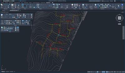
C3DTools is a collection of Civil/Survey Mapping & GIS tools specifically for Civil3D (2015 & Higher). It is a modular system covering the major areas of alignments, design, geotech, parcels, points, sections, surfaces, and more.
Extended Data- Draw: Draw geometry (hatches, mtext, inserts) based on values in extended data.
- Edit: Edits the MapWorks extended entity data on a single object. Dockable palette automatically shows extended data when one object is selected.
- Manager: Allows xdata management operations across a selection set of objects.
Image Process- Symbols: Go straight from your GPS enabled camera to CAD! Locates symbols representing GPS Photos (with EXIF data) directly from images. Creates a hyperlink to the image, projects to drawing system, rotates to view (if bearing data exists), and more.
- Link Inspect: Shows linked images in a resizable preview window as you move the crosshair over objects (such as polyline house outlines) containing links.
- TMS Images: Builds insert-able images from TMS (Tile Map Service) servers. Produce plan view maps, satellite imagery or terrain images.
- GPS Update: Select inserts with hyperlinks and updates the GPS Exif (geotagging information) in source images. Adds GPS properties to images that never had geotag information.
- Description Rasters: Descriptions multiple layouts to rasters at specified resolution and creates companion world files.
- Resolution: Change (lower) the resolution of a selection set of image while maintaining size and position.
- World: Inserts multiple TIF/JPG/PNG/SID images based on world files or creates a World TFW/JGW/PGW/SDW file from a selected image (even rotated).
Whats New is not available
Download link:
Só visivel para registados e com resposta ao tópico.Only visible to registered and with a reply to the topic.Links are Interchangeable - No Password - Single Extraction

 Cantinho Satkeys
