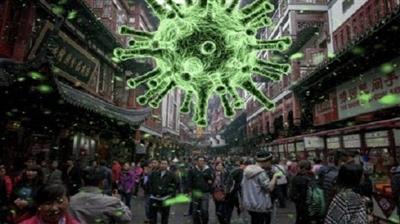
 COVID-19 Data Science Urban Epidemic Modelling and Visualization in Python
MP4 | Video: h264, 1280x720 | Audio: AAC, 44.1 KHz, 2 Ch
Genre: eLearning | Language: English | Duration: 27 Lessons (4h 9m) | Size: 2.2 GB
Interested in learning how to create spatial animated visualisations in Python? Want to learn it on the example of the Covid-19 coronavirus epidemic spreading in a real city with a real human mobility dataset? Then this course is for you!
You will learn how to use basic Python (3 or higher) to model the Covid-19 epidemic spreading in a city, do data analysis of real urban mobility data, run simulations of the epidemic in Jupyter Notebooks, and create beautiful complex animated visualisations on a city map.
All the data and Jupyter Notebooks with the code for this project will be provided for an immersive learning experience.
Covid-19 is a great case example for learning how to use Python for spatial analysis and visualisation. After completing this course you will be able to apply the techniques from this course to many other types of projects dealing with spatial data analysis and visualisation.
Assuming just a basic familiarity with Python numpy and matDescriptionlib libraries, we will go step-by-step through using real urban mobility data for modelling, simulating and visualising the spread of the epidemic in an urban environment. On the way, you will learn lots of tricks and tips for enhancing your Python coding skills and making even more compelling and complex data visualisations.
This course is a hands-on, practical course, making sure you can immediately apply the acquired skills to your own projects. The acquired spatial modelling, data visualisation, and spatial data science skills will be a valuable addition to your data science toolbox.
I will be there for you throughout this journey for any questions and doubts, so don't hesitate to begin and have a successful and satisfying experience!
Screenshots
Download link:
Só visivel para registados e com resposta ao tópico.Only visible to registered and with a reply to the topic.Links are Interchangeable - No Password - Single Extraction

 Cantinho Satkeys
